AIS (Automatic Identification System) is a tracking and identification system used in the maritime industry to enhance navigational safety, collision avoidance, and situational awareness. It allows vessels to transmit and receive real-time information such as position, speed, course, and other data.
AIS is great for increasing your “look-out” capabilities on small yachts, specifically at night or when sailing shorthanded. Setting a radius around your yacht of, say, 5 nm, AIS will warn you audibly when a vessel enters this radius. Furthermore, it will tell you whether you are on a collision course! Loving it…
How AIS Works
AIS operates via a combination of VHF radio signals and GPS technology:
- Transmission: AIS-equipped vessels broadcast information over dedicated VHF frequencies.
- Reception: Other AIS-equipped ships and shore stations receive these transmissions, providing a real-time overview of nearby vessel traffic.
- Integration: Data is often displayed on chart plotters, electronic navigation systems, or standalone AIS receivers.
AIS Information Transmitted
AIS broadcasts two main types of data:
- Static Data (entered manually):
- Vessel name
- MMSI (Maritime Mobile Service Identity) number
- IMO number (if applicable)
- Vessel type
- Length and beam (dimensions)
- Dynamic Data (updated automatically via GPS or sensors):
- Vessel position (latitude and longitude)
- Course over ground (COG)
- Speed over ground (SOG)
- Heading
- Navigational status (e.g., anchored, underway)
- Rate of turn
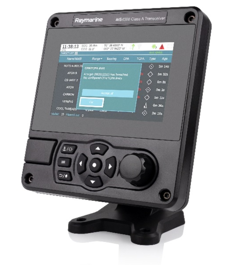
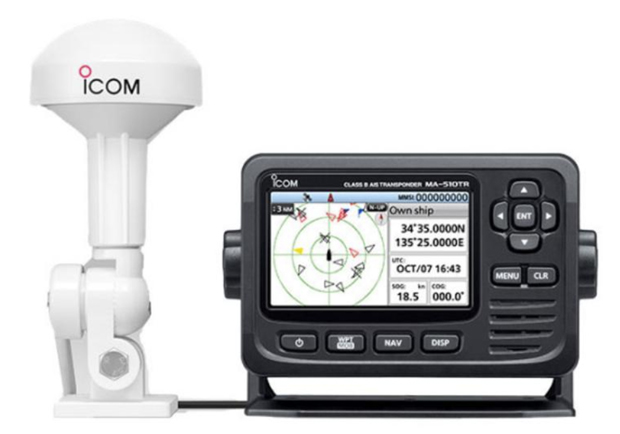
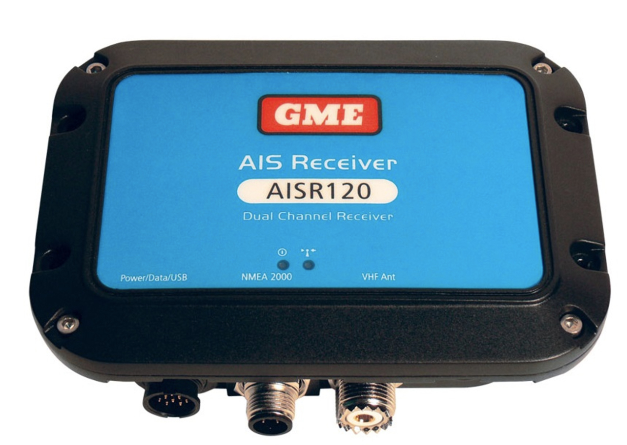
Types of AIS Devices
Class A AIS:
- Mandatory for larger commercial vessels.
- Higher transmission power and frequent updates (every few seconds when moving, every few minutes when stationary).
- Transmits both static and dynamic data.
Class B AIS:
- Designed for smaller vessels (e.g., recreational boats, smaller fishing vessels).
- Lower transmission power and less frequent updates.
- Provides similar information but with a smaller impact on VHF traffic.
AIS Receivers:
- These can only receive AIS signals; they do not transmit. Used on smaller vessels for situational awareness.
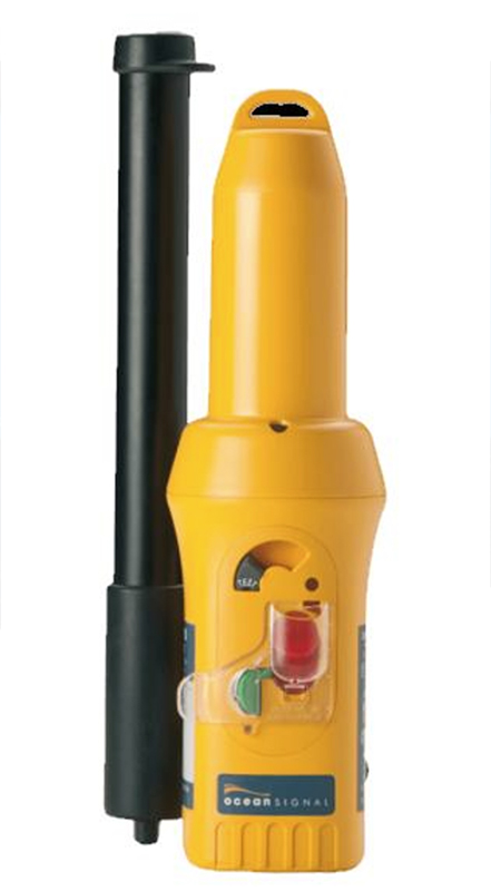
AIS-SART (Search and Rescue Transponder):
- A specialised AIS device for emergencies, allowing rescue teams to locate lifeboats or people in distress.
Benefits of AIS
Collision Avoidance:
- Provides real-time tracking of nearby vessels, including their direction and speed.
- Alerts crew members to potential collision risks.
Improved Traffic Management:
- Helps ports and authorities manage vessel movements efficiently.
- Assists in coordinating safe passage through busy waterways.
Search and Rescue (SAR):
- Helps locate vessels or individuals in distress by providing accurate position data.
Enhanced Security:
- Monitors vessel activities, aiding in identifying unauthorised or suspicious movements.
Limitations of AIS
Range:
- VHF-based, the range is limited to approximately 15–20 nautical miles, depending on antenna height.
Data Accuracy:
- Relies on user-input data for static information; errors can occur if the data is outdated or incorrect.
Visibility:
- Not all vessels must use AIS (e.g., smaller recreational boats), so not every nearby vessel will appear.
Signal Clutter:
- In busy ports, AIS data can become overwhelming without filtering.
Applications of AIS
- Commercial Shipping: Navigation and compliance with international regulations.
- Recreational Boating: Situational awareness for safety.
- Fisheries Management: Monitoring vessel activity for regulatory purposes.
- Search and Rescue: Locating vessels or individuals in emergencies.
- Marine Conservation: Tracking shipping activity to reduce environmental impacts.
AIS has become a cornerstone of modern maritime navigation and safety, helping vessels avoid collisions, aiding search-and-rescue missions, and supporting efficient maritime operations. I highly recommend AIS to those cruising our coastlines, particularly at night.
Please feel free to leave a comment below about your good/bad experience with AIS…
How does AIS compare with RADAR
AIS vs. RADAR
| Feature | AIS | RADAR |
|---|---|---|
| Primary Function | Vessel identification & data | Object detection & tracking |
| Detection Scope | AIS-equipped vessels only | All objects (land, ships, buoys, etc.) |
| Range | 10–20 nautical miles | Up to 72 nautical miles |
| Weather Dependency | Independent of weather | Affected by heavy rain/clutter |
| Setup Complexity | Plug-and-play | Requires tuning for accuracy |
| Stationary Objects | Not detected | Detected |